2018 - Three-Mile Creek
3-Mile Creek Project
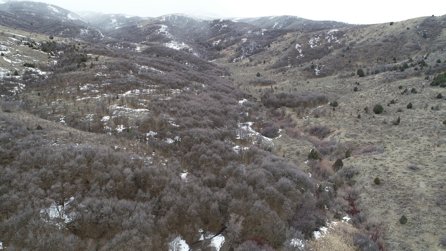
The WATS 5350 Spring 2018 class focused on Three Mile Creek, draining the north-end of the Wellsvilles. The project was envisioned by our local US Forest Service partner Paul Chase (Fisheries Biologist) to address habitat degradation and incision. The purpose of the project was to create conditions (with beaver dam analogues) favorable to facilitate beaver translocation.
View Three Mile Creek on Google Maps
Resources for 2018 Students
Some Maps
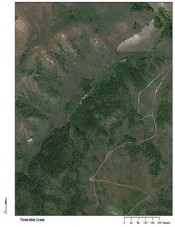
Three Mile - Aerial Photo of Study Area
PDF download of aerial photo.
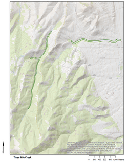
Three Mile - USGS Map of Study Area
Valley bottom from VBET of perennial portion shown in green. PDF download.
Streambed Alteration Permit
The work the 2018 class did on Three Mile Creek, fell under this stream alteration permit: 17-25-002, prepared by Paul Chase at the US Forest Service (see permitting).
USGS StreamStats
Albums
Design


Construction


2018 Consulting Team Outputs
Project Reports
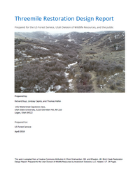
Alluvial Research Consulting - Three Mile Design Report
Alluvial Research Consulting - Three Mile Design Report (PDF)
HTT Consulting - Three Mile Design Report
HTT Consulting - Three Mile Design Report (PDF)
Aspen Environmental Group - Three Mile Design Report
Aspen Environmental Group - Three Mile Design Report (PDF)
Slides
Aspen Environmental Group - Threemile Creek Presentation
Aspen Environmental Group - Threemile Creek Presentation (PDF)
Updates
- In Fall 2018, the USU Beaver Translocation Facility and UDWR translocated six beaver into Three Mile Creek into the BDAs students built in April 2018.